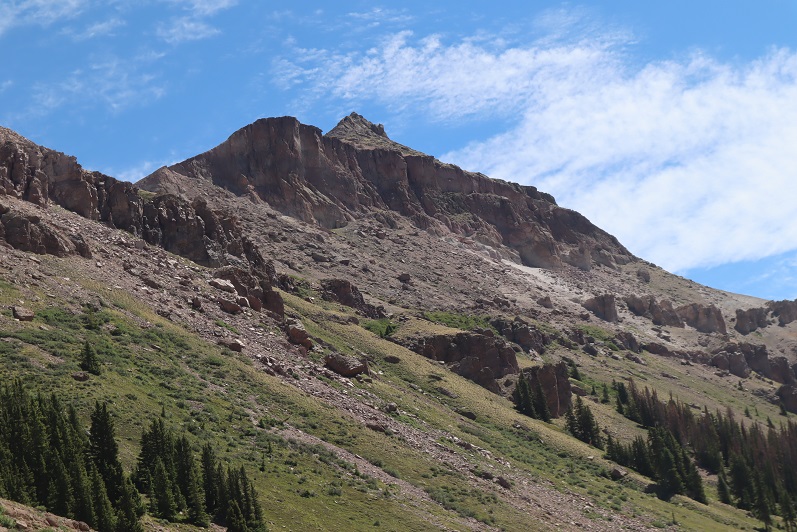
RT Length: 13.72 miles
Elevation Gain: 3833’
Wow, the 4WD road to Nellie Creek is much worse than I remember! It’s absolutely 4WD from the turnoff, all 4 miles to the trailhead, with 2 creek crossings. Have I mentioned I love my truck?

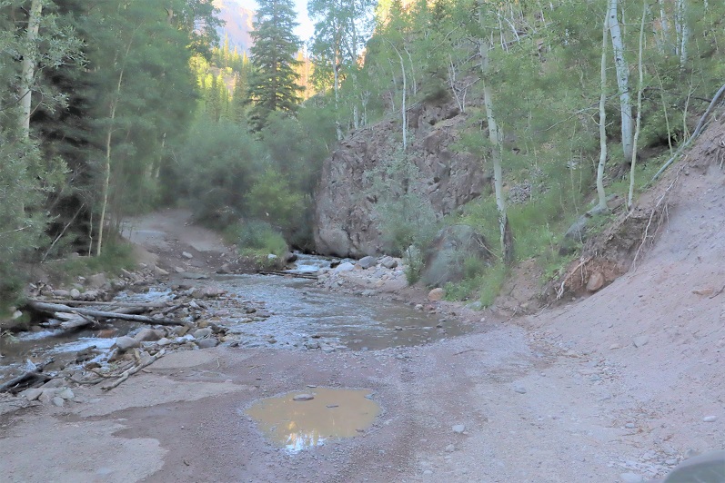
I made it to the trailhead, which was empty. There were a few dispersed campers in the area however, taking shade beneath the trees.

The trailhead was also very much in the open, so I turned around and drove a short distance and parked my truck in a narrow parking spot under the trees, just off the road. There were mosquitoes all around, so I ate dinner in the back of my truck, jotted down notes and checked my topo map for tomorrow. I decided to go to the trailhead to take a look around and get a visual for the start of tomorrow’s hike. There was a couple with a dog standing in front of the trail maps when I arrived. Their dog charged at me, barking loudly. The couple seemed surprised and apologized for their dogs behavior. That dog barked all night long.
I walked back to my truck, took care of a branch that had been scratching the roof of the truck like a critter trying to get in, and read for a bit before turning out the light.
If you couldn’t already tell by the tone of this post, from the time got to the trailhead I wasn’t ‘feeling it’. This rarely happens to me, and I was thinking maybe I need a short break from my goals? Or maybe expand them a bit? I love to hike, but today I couldn’t seem to get myself out of bed to start. I blame it on yesterday’s failed attempt on Coxcomb, which put my training into a different perspective.
Also, I was still worried about the injured horse. My mind had a lot to think about and I couldn’t turn it off. I finally started on the trail at 4:15am.
The trail starts at the north end of the parking area and follows a well defined, class 1 trail.

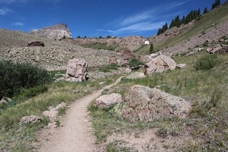
After hiking for 1 mile I turned right at this sign and switchbacked up the side of the mountain

After hiking for 2 miles I made it to the top of the pass

It was still dark at this time, and I knew I needed to descend a couple hundred feet. The trail seemingly ended and it took me a while to figure out which way to go, but there is an actual trail here that picks up again after about 50 feet of absence. In the daylight it wouldn’t have been an issue. I finally found it and descended in to the basin. And descended, and descended, and descended. I looked at my altimeter, concerned I’d lost too much elevation. At this point I’d lost 800’, and I could tell I’d need to lose several hundred more before starting to gain elevation again. The sun was starting to rise and I still didn’t have a good visual of the peak I’d intended to climb. I still wasn’t ‘feeling it’ and didn’t like the prospect of gaining 1000’+ at the end of today’s hike after climbing up gullies (I’m not a fan of gullies). I decided to call it and turn around. I headed back up towards the pass. I’d much rather get my elevation gain in the beginning of the hike, rather than at the end. However, I wasn’t done hiking for the day; just changing my plans. When I made it back to the pass I turned and headed east up the side of Unnamed PT 13106 (which I later found out is nicknamed Nellie Point, so that’s how I’ll refer to the peak. Names are better than numbers IMO).
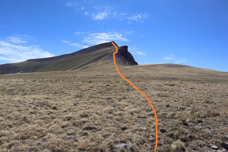
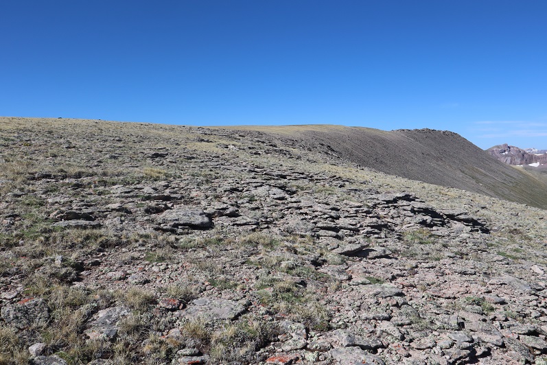
This was mostly a tundra hike until the end, when the tundra turned into very large rocks.

These rocks were fun to navigate, kind of like a maze with large obstacles to go around. All class 2. My mood improved dramatically and I was excited to be out adventuring.

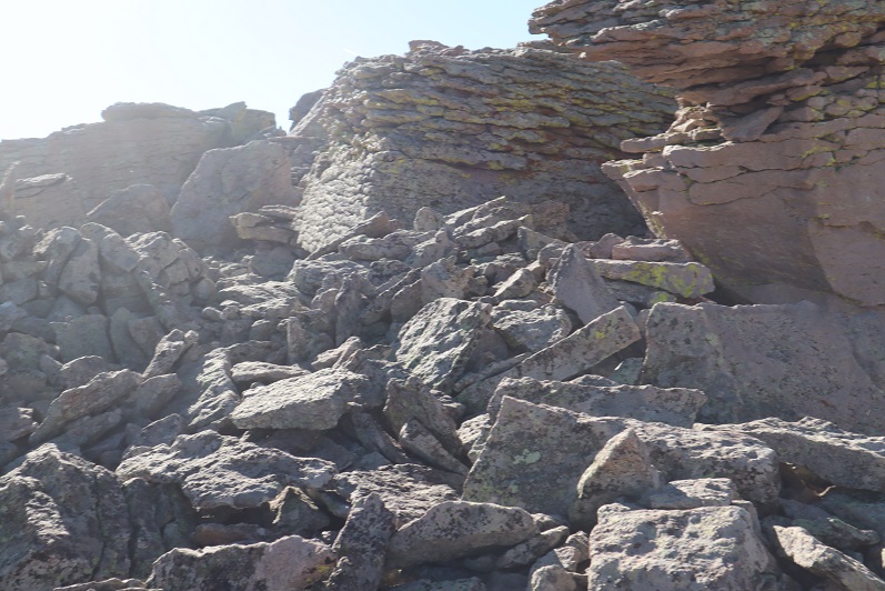
There were several large cairns on the long summit. I wasn’t sure which one was the actual summit until I found a summit register inside one of the cairns. It was kind of in the middle of the summit area (which was about a quarter mile long).

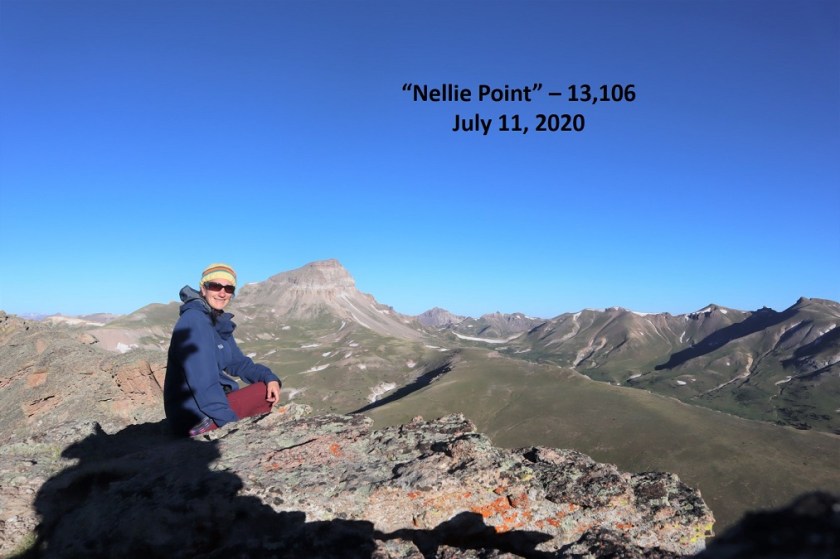
Nellie Peak:
From the summit of Nellie Peak I continued following the long summit northeast. There was still some leftover snow here from winter, which didn’t pose a problem at all.

While on the ridge I scared a Ptarmigan mother and her chicks (they scared me too, as I didn’t notice them until the mother squawked). Immediately the chicks dispersed and the mother pretended to be injured, leading me away from her babies. I kept telling the mother I didn’t want anything to do with her or her chicks, but unfortunately she was leading me exactly in the direction I needed to go. She did a wonderful, if unnecessary, job leading me away from her babies. When she felt I was far enough away she flew back in their direction, chirping to gather them all together again.
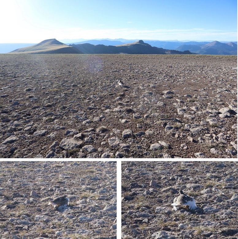
Ptarmigan:
From the summit ridge I could see East Nellie Point, but getting there isn’t as easy as it initially looked.

I followed the ridge almost to the saddle and then turned and headed east, losing 600’ of elevation. Luckily this part of the hike was mostly on rolling tundra and wasn’t too taxing.

Once at the bottom I was able to avoid the small pond/creek and ascend the hillside towards East Nellie PT.

This was still rolling tundra, and there were even game trails in the area (and tons of elk tracks). At the top of the tundra hill I had about a quarter mile of tundra to walk through to the final summit push (if you could call it that).
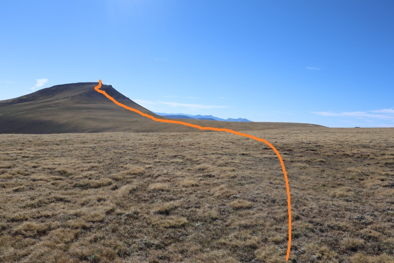
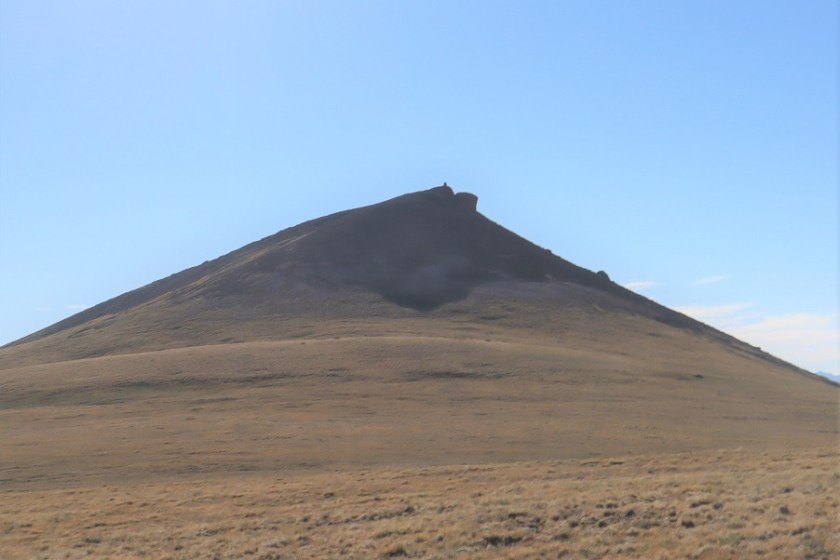
The final push to the summit was rocky and there was no trail, but it was straightforward
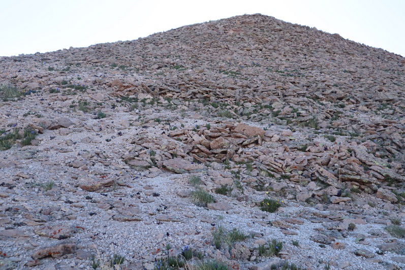
There was a large cairn just before the summit

The actual point of this summit was difficult to tell as well. Once again I knew I was at the summit when I found the summit register stashed inside a cairn


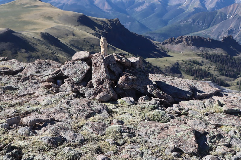
Summit Photo:

East Nellie Peak:
Here are some photos from the hike back down. I decided to make this an out and back hike, retracing the steps I took to get here from Nellie Pt.

The tundra can be vast. Luckily, I could keep Uncompaghre Peak in my view most of the time, and just kept heading towards that 14er.
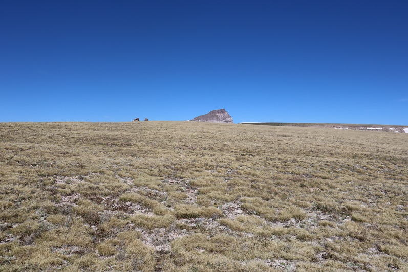
I also had a good view of Silver Mountain (my original choice for a summit today). With this view I could see there was still snow at the top of the access gully, so it had been a good idea for me not to attempt that peak today because the snow was unavoidable and I’d left my ice axe in my truck (I had my crampons). I was feeling better about my choices.

I hiked down to the valley and then back up to the ridge

I followed the ridge back to Nellie Point


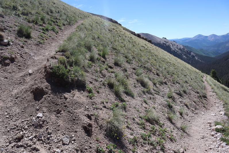
And back down to the pass

And the class 1 trail that leads you back to the trailhead


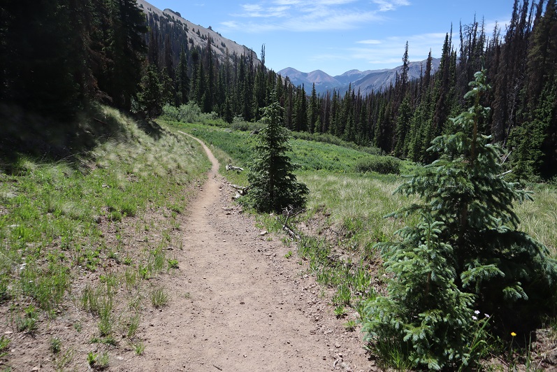
The trailhead now had several vehicles

Also, I came to the conclusion it’s impossible to get a bad photo of Uncompaghre

I made it back to my truck at 11:15am, making this a 13.72 mile hike with 3833’ of elevation gain in 7 hours. Obviously, I made this hike more difficult and added more elevation than needed, but in the end I was happy with today’s hiking change of plans. In fact, I wished I’d have made the choice to change routes earlier. Any day above treeline is a good day. The 4WD road was easier to navigate driving down than it was driving up.
Here’s a topo map of my route
